

Merida to Progreso travel follows federal Highway 261, the road connecting Mérida with Puerto Progreso. A Yucatán tourism-development program describes the route as 33 km long and says it carries both port freight and tourists.
- Road: Highway 261 connects Mérida and Puerto Progreso.
- Published route length: 33 km.
- Route use: Tourist travel and freight moving through the port of Progreso.
How far is Mérida from Progreso?
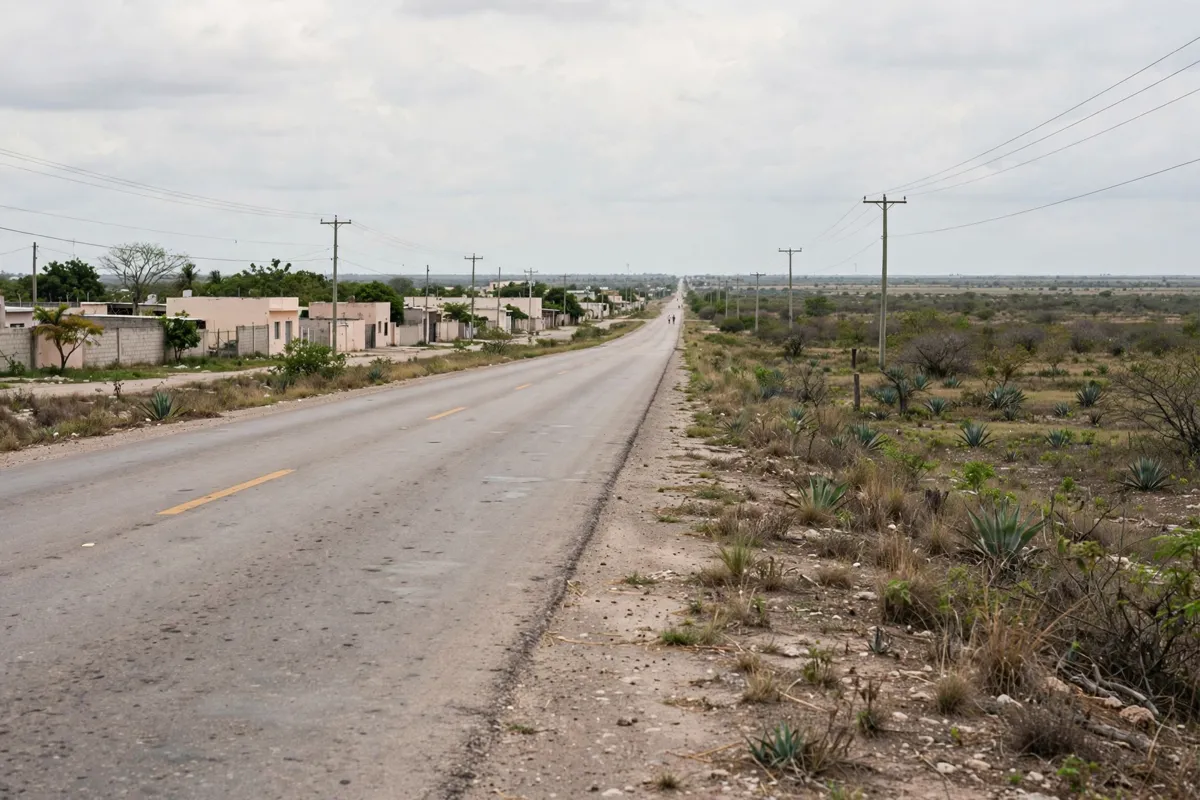
The Highway 261 route between Mérida and Puerto Progreso is 33 km long, according to a Yucatán tourism-development program. That figure describes the route, rather than a door-to-door distance between specific addresses.
The program identifies Highway 261 as a connection for both tourists and freight serving the port. Keep that shared use in mind when planning your journey; the published route length alone does not establish a travel time.
What should you know about the road to Progreso?
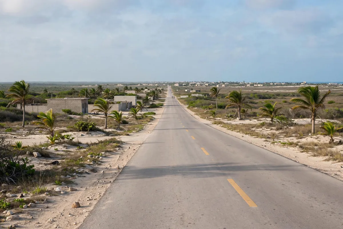
Highway 261 is the federal road connecting Mérida and Progreso, and it serves traffic heading to the port as well as tourist journeys. The program describes the route as 33 km long.
For a broader sense of what to do at the coast once you arrive, the Progreso day-trip guide covers things to do in Progreso.
Where can you start your Mérida journey?
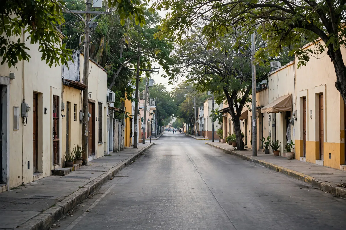
Hacienda Santa Cruz Merida is a five-star hotel in Mérida; its Mérida hotel rooms are one place to begin planning your stay in the city. The road information here identifies Highway 261 as the connection to Progreso, but does not specify a departure terminal or local transport options.
FAQs
How long is the road from Mérida to Progreso?
The published length of Highway 261 between Mérida and Puerto Progreso is 33 km. This is the route length, not a stated journey time.
Which highway connects Mérida and Progreso?
Federal Highway 261 connects Mérida and Puerto Progreso.
Is Highway 261 used by freight as well as tourists?
Yes. The Yucatán tourism-development program describes it as a route used by tourists and freight moving through the port of Progreso.